{...}, entry point == Blog")

Blackboard – News and announcements
News and Announcements
Shortcut to the board.
News & Announcements
- DEF CON 32 presentations are now live
- Blackboard restored
- DEF CON 32 Training Las Vegas 2024 Reg is OPEN!
- Programming: We can’t use Python 3.11, other necessary dependencies still need 3.10
- Geschützt: No olvide su informe de gastos de viaje para DEF CON 31
- Programming: C++ Naming, coding, style and documentation rules
- Bug reports on GitHub – recent version 2023

Geschützt: Deities in Elric of Melniboné
Geschützt: Multi Area Conditioning for ComfyUI
Geschützt: Monzcarro “Monza” Murcatto
Geschützt: I am a human being
Geschützt: Island, ein Diaabend wie in den 90ern😁
Geschützt: Proof of Concept (PoC) GROME Desktop
Geschützt: Team SA (Situational Awareness)

Robot replaces human actor
Wonder Studio AI – Robot fighting humans
Robot replaces human actor | Wonderstudio AI – D3VC0N gdt cam 2023-04-06
This video was also shared by SSK Animator, a beta tester of Wonder Studio AI, showing how an actor was replaced with a robot. This was done without a mocap suit. This changes everything!!! or not after all??? ...[Read the rest]
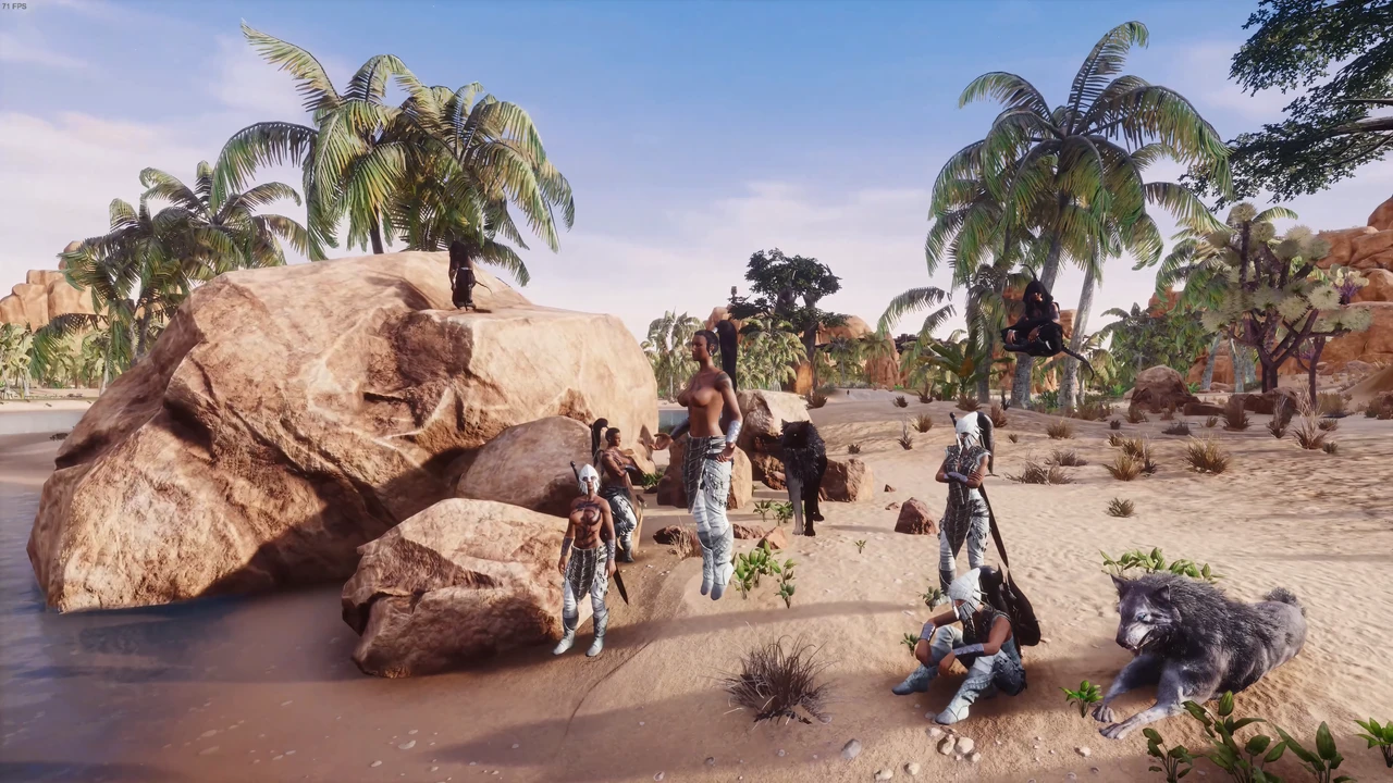
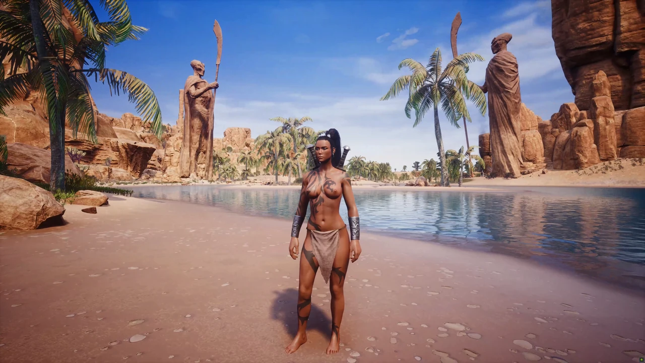


Graphic Tweaks Configuration Files
Graphic Tweaks Configuration Files
I tried out the stored values of the console variables and commands back in the summer 2019 to pimp Conan Exiles (CE) graphics a bit. Most of them should still work, a few made its way into the default config files in the meantime, some have no effect anymore.
Very helpful for me was the really fine tutorial by kเt published on the STEAM Forum. ...[Read the rest]
Geschützt: Archiv
GIS in Katastrophenmanagement
GIS in Katastrophenmanagement | direct translation, published on 2010-10-06
Integration von GIS Technologie und Geoinformationen im Katastrophenschutz und -Management
Geoinformationssystem (GIS) steht für ein System zur Erfassung, Verwaltung, Analyse und Darstellung von geographischen Daten. GIS kann verwendet werden, um Karten zu erstellen, die verschiedene Informationen über einen Ort oder ein Phänomen zeigen. Geodatenverarbeitung kann auch verwendet werden, um räumliche Beziehungen, Muster und Trends zu erkennen und zu verstehen. ...[Read the rest]